


3.3 km | 3.8 km-effort

Tous les sentiers balisés d’Europe GUIDE+


FREE GPS app for hiking
 SityTrail
IGN / Geographical institutes
SityTrail World
The world is yours!
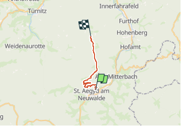
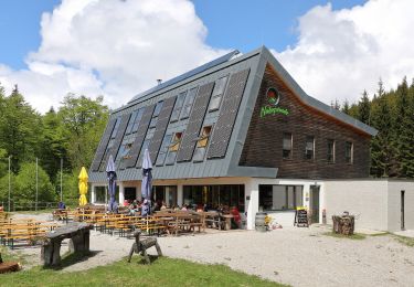
Trail On foot of 10.5 km to be discovered at Lower Austria, Bezirk Lilienfeld, Gemeinde Sankt Aegyd am Neuwalde. This trail is proposed by SityTrail - itinéraires balisés pédestres.
Trail created by Österreichischer Gebirgsverein, Ortsgruppe St. Pölten.
http://wiki.openstreetmap.org/index.php?title=WikiProject_Austria/Wanderwege
Symbol: rot-weiss-rot


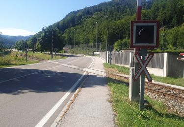
On foot

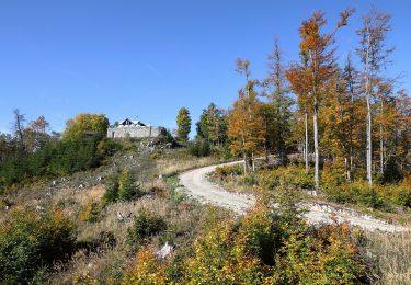
On foot
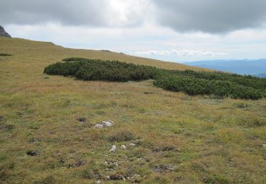
On foot
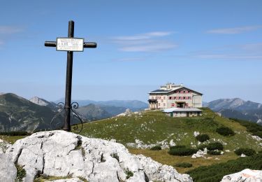
On foot
On foot
On foot
On foot
On foot
On foot